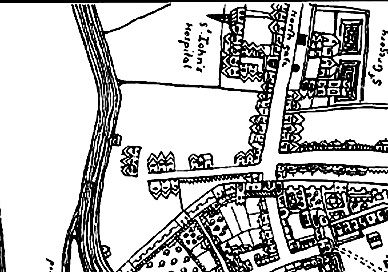
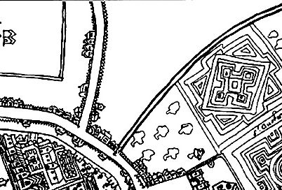
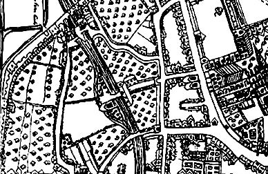
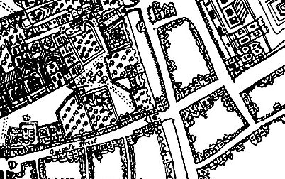
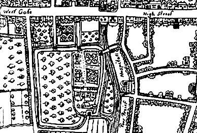
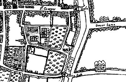
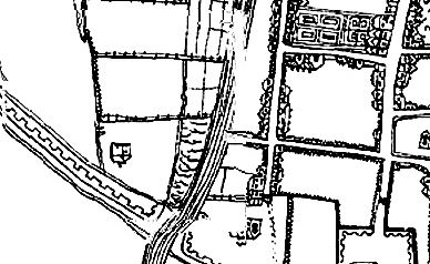
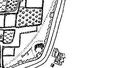
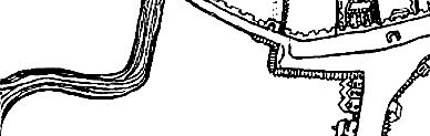
1640 map of Canterbury
Return to maps page Return to main page
This page (see below) has a map of Canterbury of 1640, a copy of which can be found in Canterbury Cathedral Archives and Library (map 123).
It is scanned from a tracing made by Sue Barnett, Canterbury Archaeological Trust. As with the later map (1822) it may take a while to load, even though I have cut it up into sections.
Notes: This map has some wonderful details. I like these: The water pump at the bottom of Sun Street - presumably the precursor to the Red Pump All the city gates - see my other page on these gates All the old hospitals and religious buildings - churches and so on - including the walls around Blackfriars The Cathedral as it was then, including the precincts
Notes: This map has some wonderful details. I like these:
All the city gates - see my other page on these gates