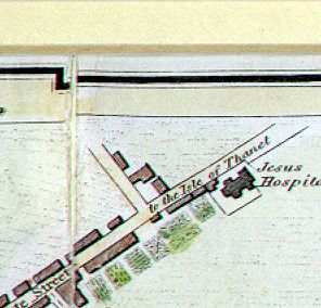
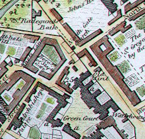
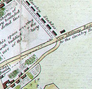
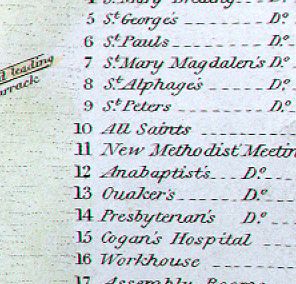
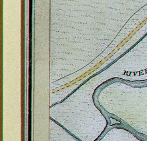
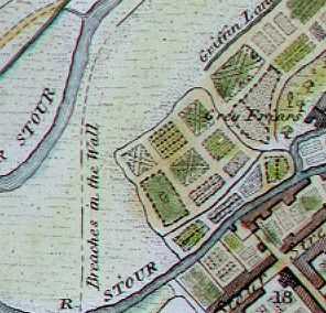
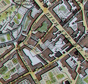
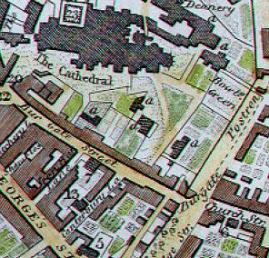
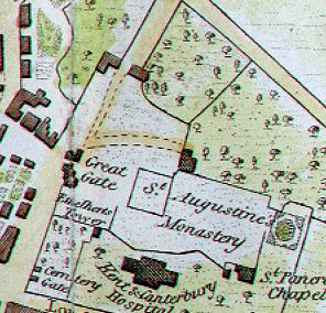
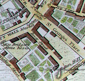
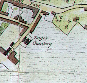
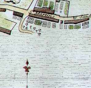
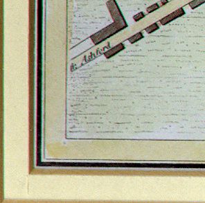
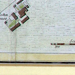
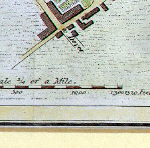
Notes: The map has no date and at first
I thought it was pre-1800. (For one thing, it doesn't include
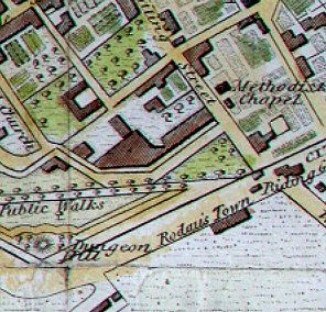
the Methodist church in
St. Peter's Street, built 1811.)
However, I discovered from the Canterbury Archaeological
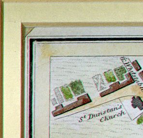
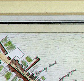
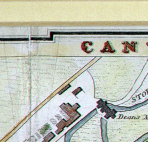
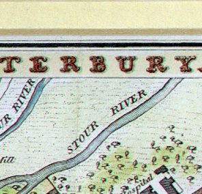
Trust book of Canterbury maps that in fact it is dated 1822
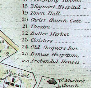
and produced by James Bingley, who basically copied Bayly's
1795 map and added a few details, such as the New Gaol and the
'Methodist Chapel' (on the site of the present Saint Andrew's
church) - which I understand to be 'The Countess of Huntingdon's
Collection', which later merged with the Congragational church.
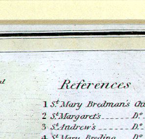
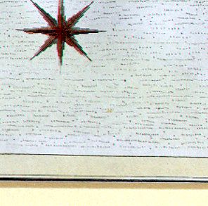
I scanned it from the original, and it has
wonderful details. It is large, and may load slowly, but is
definitely worth the wait. Come back soon for more discussion
of this map.